Conservation in Flight
Conservation in Flight
Written by: Paxton Caroline Hayes and Hana Sellers
Photos taken by: SCT staff members
Drones in Conservation
When you hear people talk about drones, whether in the news, your social media feed, or from your uncle at the family barbeque, I bet you rarely hear them talk about drones in conservation. Despite changing regulations, unmanned aerial vehicles (UAVs) are here to stay. Drones have a variety of useful applications from official search and rescue to hobbyist photography to uses that have yet to be discovered.
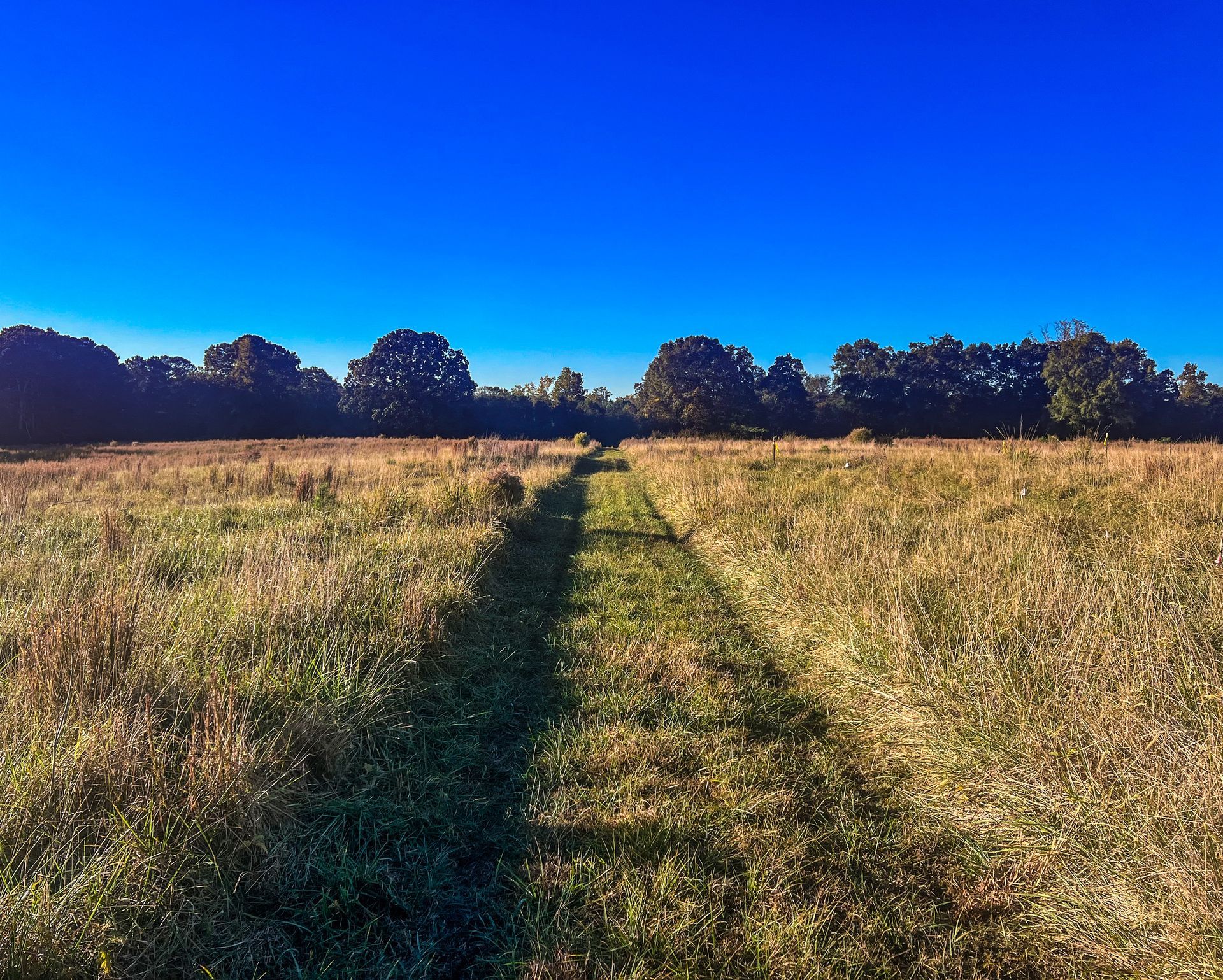
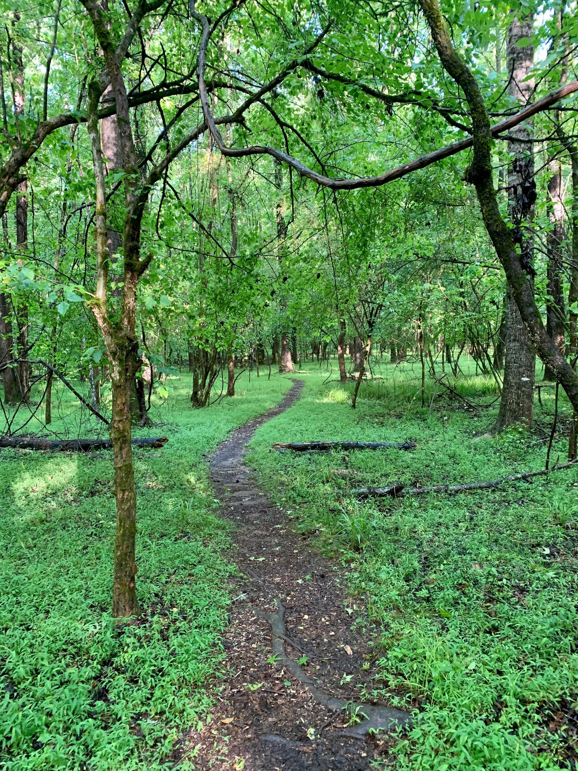
In the conservation space, drones can be an especially useful tool. Drones can allow landowners to see their property from the air, giving them a new perspective to their managed lands. Most drone pilots can operate at 400 feet above ground level, which is the same as looking out from the window of a 35-40 story building! From that view, individual trees become a stand within a forest, a spring flows into a creek and feeds a watershed, and an individual property becomes part of the larger, patterned landscape. When drone imagery is captured repeatedly for years, trends emerge that may help land managers diagnose forest health issues or make wide-scale improvements to their management of the land.
Accurate mapping of properties also becomes more efficient and cost-effective with a drone. Drones can be outfitted with high-resolution camera lenses, thermal lenses, or LiDAR (Light Detection and Ranging) systems to provide land managers with data for producing different 2-dimensional or 3-dimensional maps. These digital maps can then be used to analyze vegetation, create flood models, measure wildfire fuels, and aid in the planning of infrastructure and developments.
In the past few years, drones are also being used in the aerial ignition of prescribed fires. Drones have lower operating costs than helicopters or manned aircraft and improve operator safety by keeping a farther distance from the ignition source. Aerial ignition burns are
just plain cool to watch, and exercises like
The Nature Conservancy’s Training Exchange allow for wide-scale, fuel reduction burns to be conducted with fewer smoke issues and greater firelighter safety.
How SCT Uses Drones
At the Southern Conservation Trust, our drone capabilities aren’t quite that fancy yet - we haven’t ignited any fires with them, even if we have heard about successful attempts of aerial ignition from landowners on their own properties right here in Pike County, Georgia!
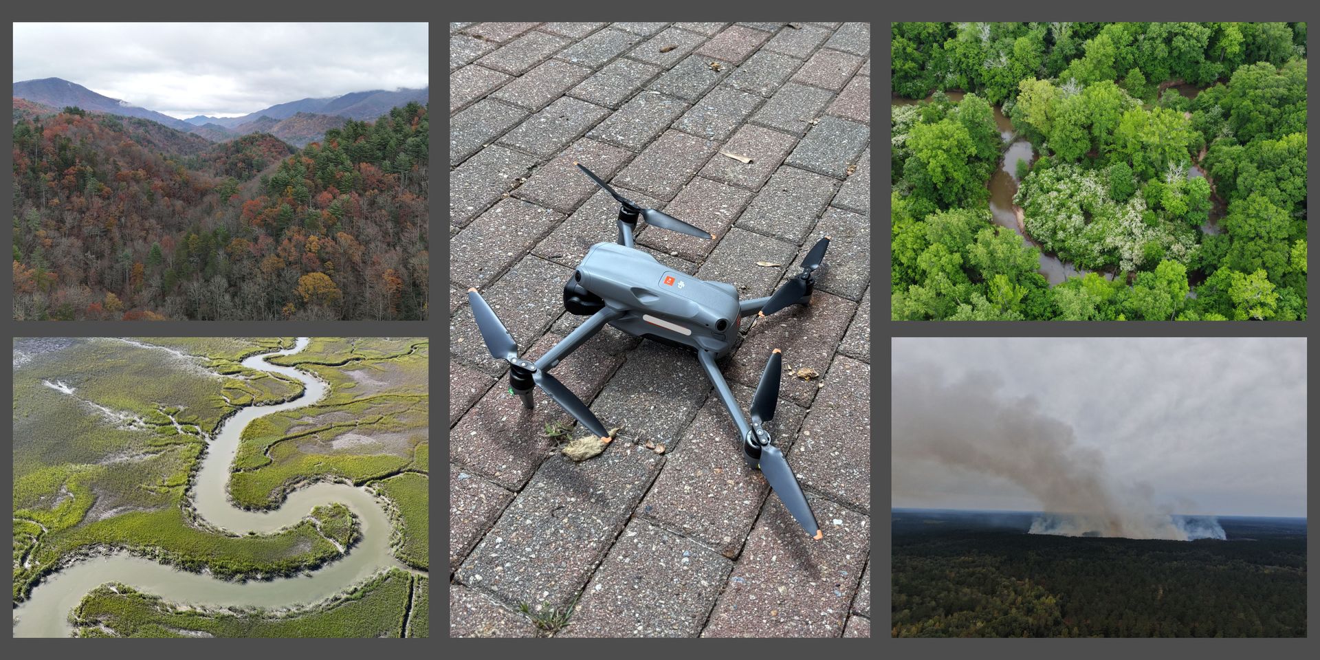
We have three moderately-sized drones that are equipped with high-resolution camera lenses. The drones in our fleet are nicknamed after snakes that are native to Georgia. Can you guess which snakes are featured in our current fleet? After trading out some of our older models, like “Copperhead” and “Rough Green,” our current fleet consists of “Coachwhip,” “Ringneck,” and “Eastern Hognose.” Coachwhip is pictured above. Eastern Hognose is our smallest drone in the fleet, even though you might expect that drone to be named Ringneck, given its namesake after the 10-inch snake!
Our four
certified drone pilots on staff fly the drones to improve our monitoring of properties that are large (2,000+ acres), inundated with water, or have rugged topography and significant elevation changes that can be time-consuming to hike. We can help triage and assess storm damage, providing landowners with “before” and “after” pictures of widespread storm damage and bolstering their claim to emergency relief, an unfortunate reality that played out for many in September 2024 after Hurricane Helene.
SCT’s drones can serve as “eyes in the sky” and extend our vision across conserved landscapes, a supplemental tool that cannot replace ground monitoring but enhances it. Our team stays informed about this technology through changes in industry and regulation, hoping we can continue to meet conservation challenges with our diverse skillset.
Press & Media Inquiries
Contact Us
About Southern Conservation Trust
At Southern Conservation Trust, we are passionate about elevating nature through exceptional stewardship. Based in Georgia, our 501(c)(3) public charity has successfully conserved over 65,000 acres of land across the Southeast, including five public nature areas in Fayette County and the Fayette Environmental Education Center. We believe that protecting our natural spaces is just the beginning; everyone should have equal access to enjoy the beauty of the outdoors. Join us in our mission to foster a deeper connection between people and nature. Learn more at www.sctlandtrust.org.
Share Post
Recent Articles & Blogs